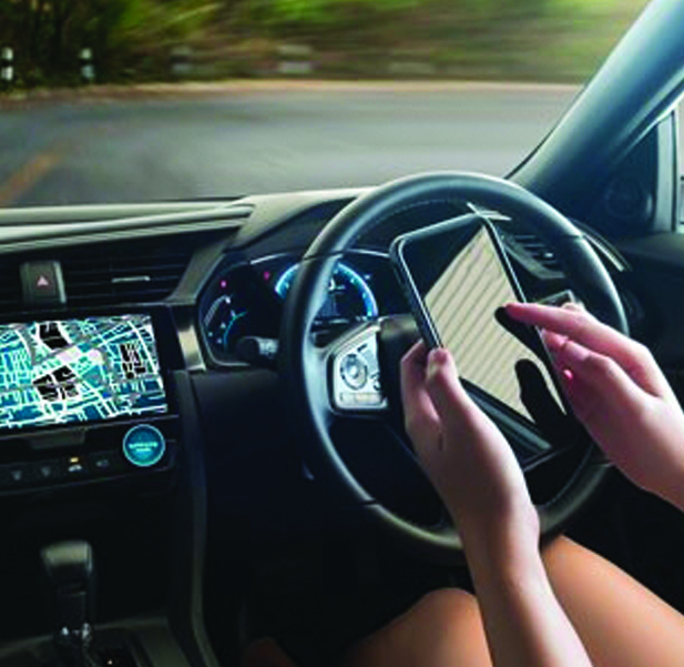
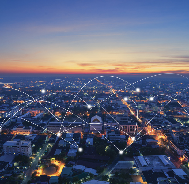
More and more, our towns and cities are resembling living organisms. Decent figures in certain critical indicators can have immediate good effects on their populations. They often require quick and, above all, informed decisions. One of the most interesting developments in the digital revolution, thanks to the spread and evolution of independent sensors around the country, is the increasing sophistication of tools for monitoring these indicators, which are things like social behaviour, energy consumption and transport.
At the last edition of Forum PA, held in Rome from 14 to 16 May, TIM and Olivetti presented some radically innovative solutions for local government, particularly in urban areas. These tools have collectively been christened "City Forecast" and their predictive analysis can inform decisions by the authorities. Based on constantly updated data from TIM's mobile network, processed on real-time maps by Olivetti's systems and applications, these solutions are one of the most immediate vertical applications under the "Smart City" umbrella. "City Forecast" is a sector in which the network capacities of a big telecoms operator like TIM, and Olivetti's means of rapidly processing huge amounts of data, can come together to create a highly valuable proposal for central and local authorities.
We talked about it all this with Laura Iovieno, Head of Digital Services/Marketing Data Monetization Solutions at Olivetti, who came to Forum PA to explain the latest uses of these tools.
Can you tell us what you mean by "City Forecast" solutions?
“City Forecast” is one TIM Big Data's standard services and is mainly targeted at the authorities. The service is based on gathering, analysing and using one of the richest datasets in the global market, namely TIM's.
Mobile terminals, given how widespread they are, can be used as an omnipresent network of sensors for providing accurate, real-time data on the distribution of people around the country and their transport habits. Given the number of samples we're looking at, there's a high correlation between the distribution of TIM users by cell and of the general population.
The offer allows for gathering information within a defined area, for example, a region, province or municipality, and then analysing presence and mobility there. The minimum exploration area in geographical terms for a statistic is 150 metres by 150 metres per presence, with a time interval of 15 minutes for analysis. The statistic is then made anonymous as required by privacy laws and social and personal information is added to it, about things like sex, age group, type of contract – business or consumer – and nationality.
"City Forecast" services for transport - Rome
Can you tell us about the main ways the authorities use our solution?
The analysis done by the "City Forecast" service were used by Florence municipal council to describe and analyse the presence and transport habits of people in the area from April to September 2017.
TIM and Olivetti's tool was also used by Turin municipal council for a study into urban mobility and to plan transport.
Also, Novara municipal council, as part of their “Novara Smart City” project, signed an agreement with TIM to use the “City Forecast” service, to spark off the digital development of the area and push the town towards a Smart City model, by working out innovative services and solutions for satisfying the specific needs of all public and private bodies.
Is the solution developed by TIM Business and Olivetti only for emergencies that require fast decisions, or is it also for long-term planning? Can you give us real examples?
Olivetti's solutions allow local and central authorities to better run events in their areas. The goal is to offer a platform for running all the events that take place in an area by gathering data from various sources and making it available, not only for spotting emergencies and managing them quickly, but above all for monitoring the area, events and people in it, coming up with marketing based on analysis and planning long-term actions.
The data play a key role in all this, because they allow you to process and analyse important information on things like behaviour, both in terms of presence and transport, and data on socio-demographics, the environment and social media. According to the nature and use of sensors and the data they process, different types of services can be developed.
Data tourism is one of the many members of the "City Forecast" family, which allows for analysing and correlating the presence of residents and visitors in a certain area, for example at an event, which can generate sentiment, be it positive, negative or neutral, and identifying signs of possible emergencies and handling them proactively. The Data Vehicular Flow Analysis profile, which also includes connected road traffic, is a service designed for local authorities that analyses the behaviour in a certain geographical area, outlining routes, journey times, frequency of journeys and so on. Public servants will easily be able to optimise all their transport services, for limited-traffic zones, public transport and parking.
What will the impact of 5G be on these solutions?
We will certainly manage the data from proven users of the 5G network and keep our services constant, regardless of the access network used by the users. In some specific areas where 5G coverage with very small cells is planned, we can improve the spatial accuracy of the information and thereby the data produced.

.png)
.png)